OK, it’s an island and it has tarmac, so Bruce has to go around it. Fortunately, Elly isn’t averse to a little cyclo-circumnavigation, either, and so off we went. Of course there was headwind both ways, so please don’t laugh too much as the speed on the cyclemeter map.
But we had 37 miles of being tourists, hence a lot of photos!
 Outside our room, fairies dwell |
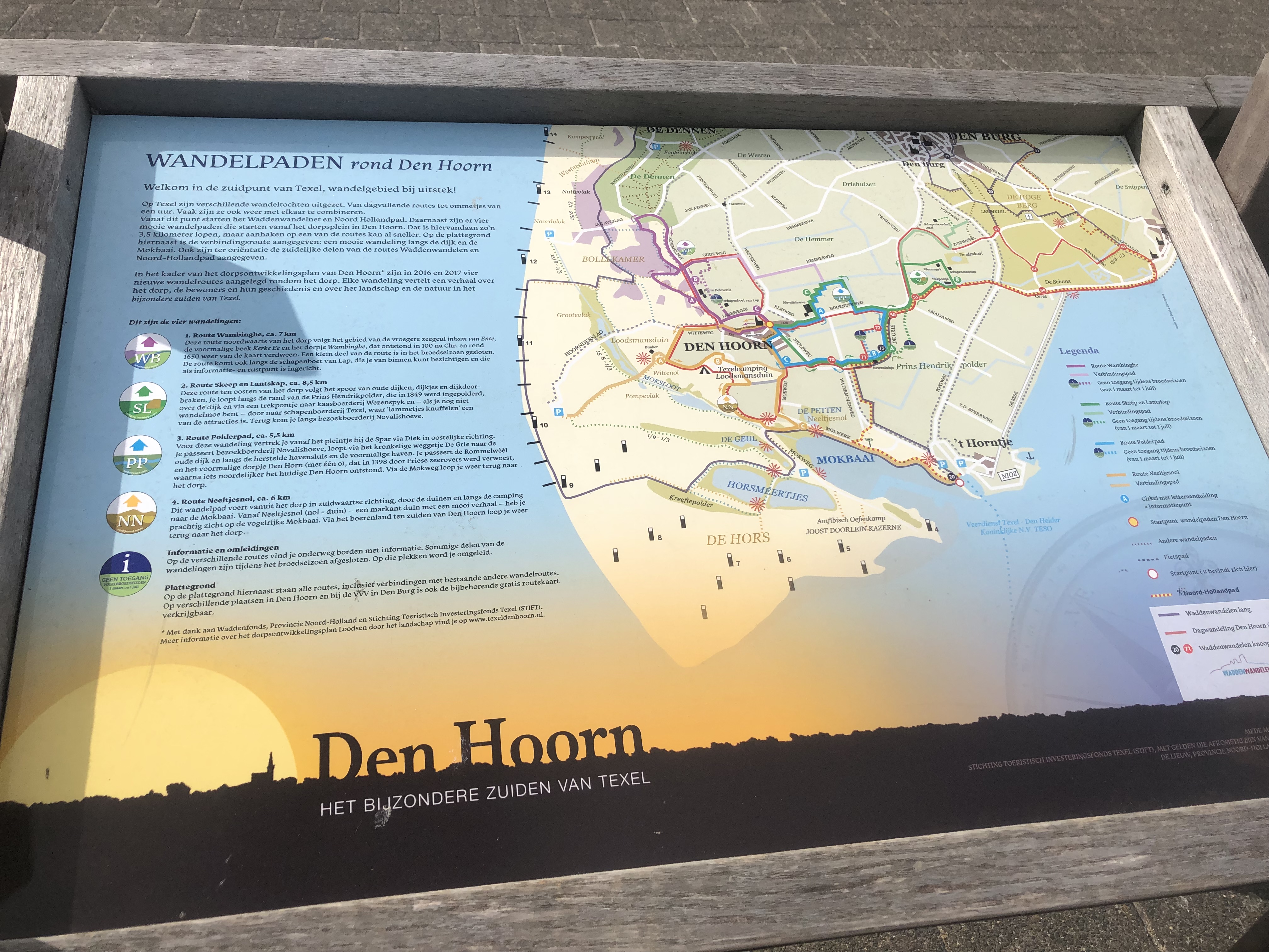 about Den Hoorn |
 view of the ferry from Texel to the mainland |
 aerial view of the ferry |
 looking back to the mainland |
 The lighthouse at de Cocksdorp. Read all about it! |
 lighthouse data |
 looking up! |
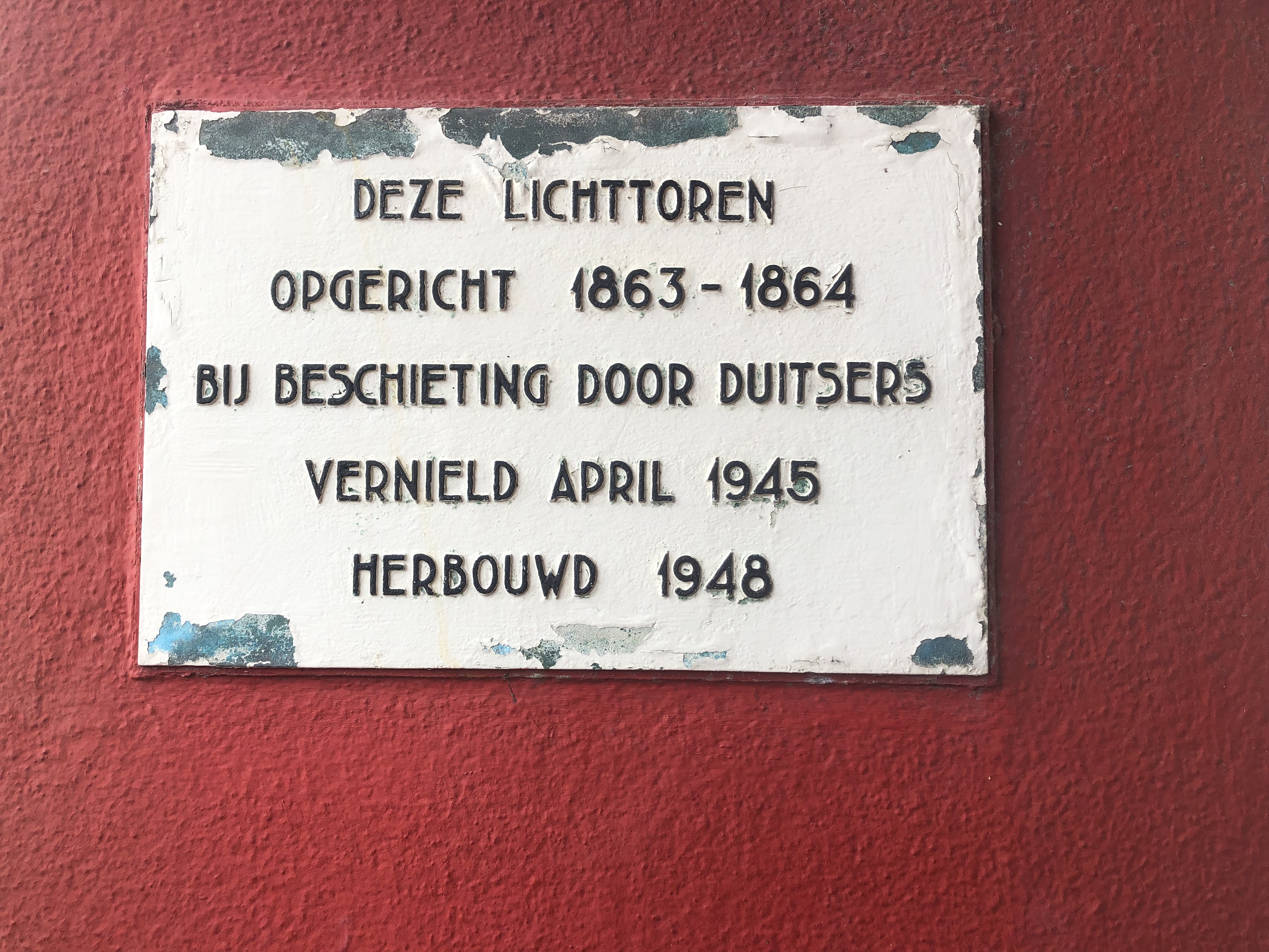 This light tower erected 1863-1864 in case of being attacked by Germans. Destroyed 1945, rebuilt 1948 |
 victimisation! |
 shipwrecks |
 geo-evolution of Texel 1 |
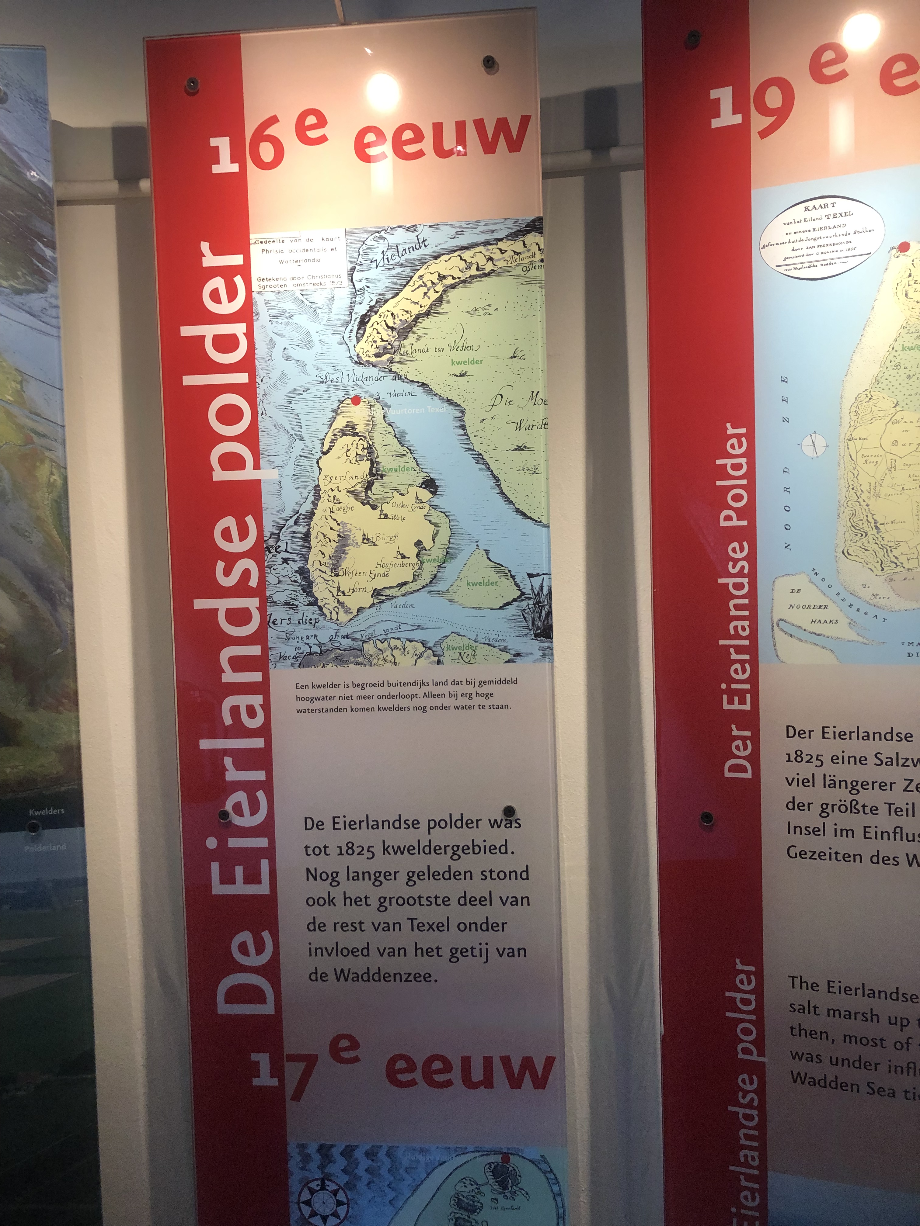 geo-evolution of Texel 2 |
 Where will it flood? |
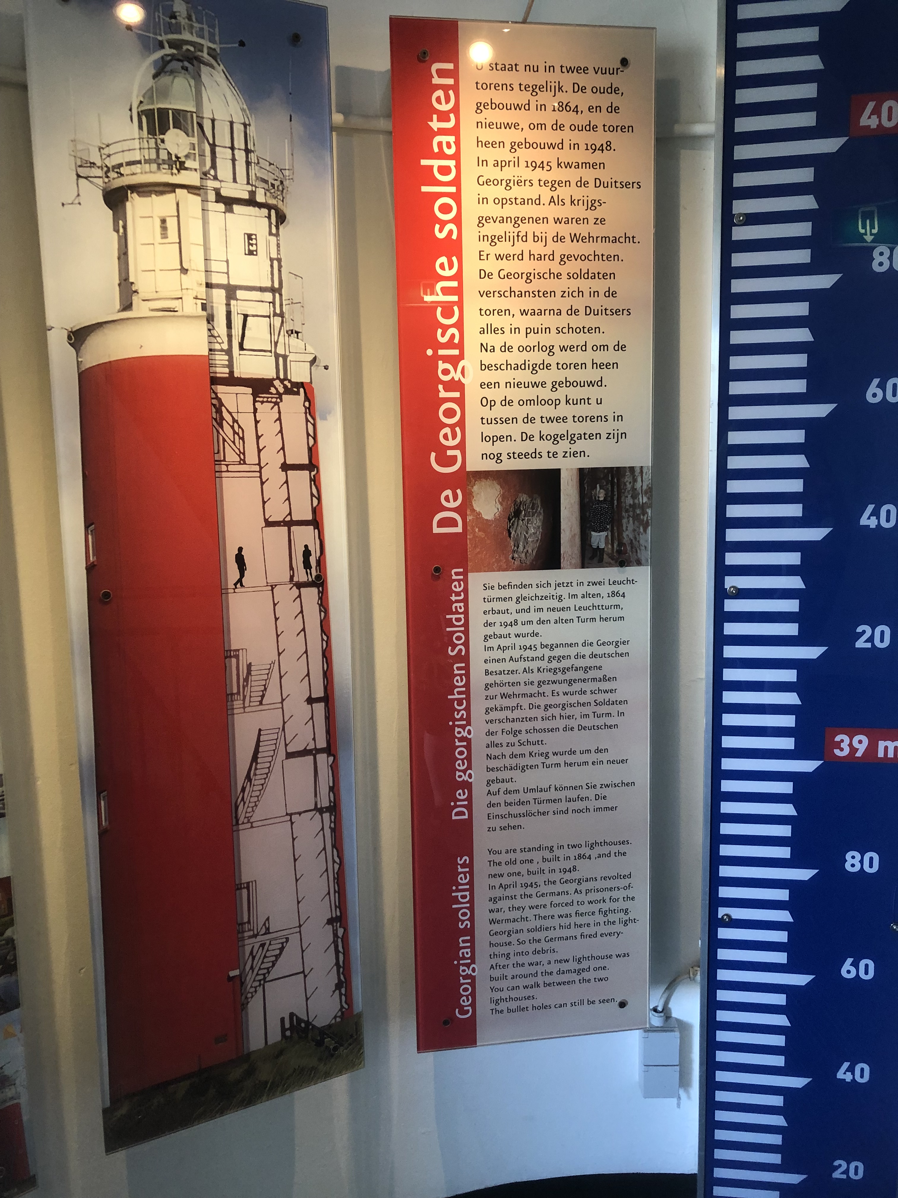 Why the light-house has bullet-holes |
 here are some of the bullet-holes |
 Who built it? |
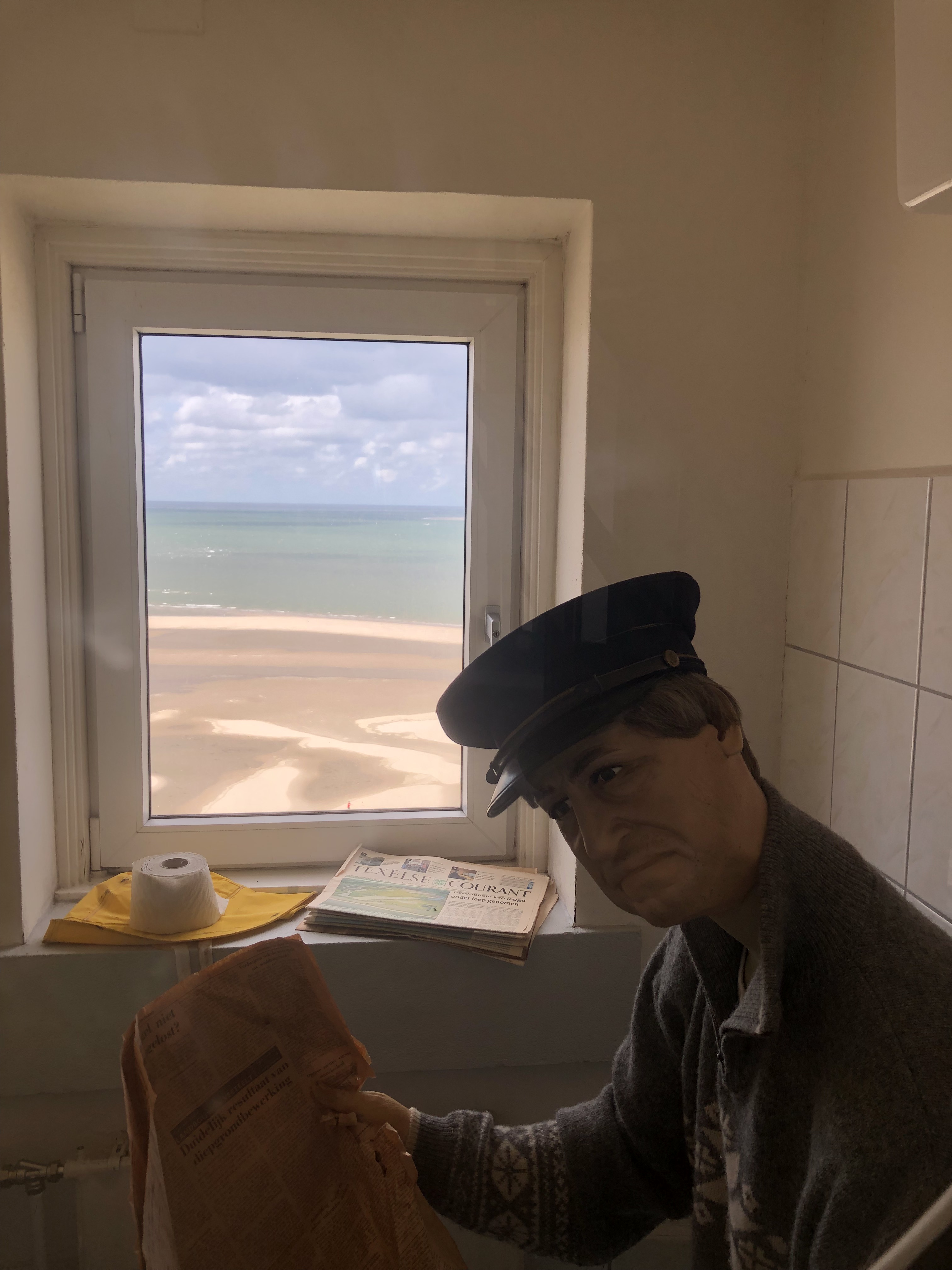 and who lived here? |
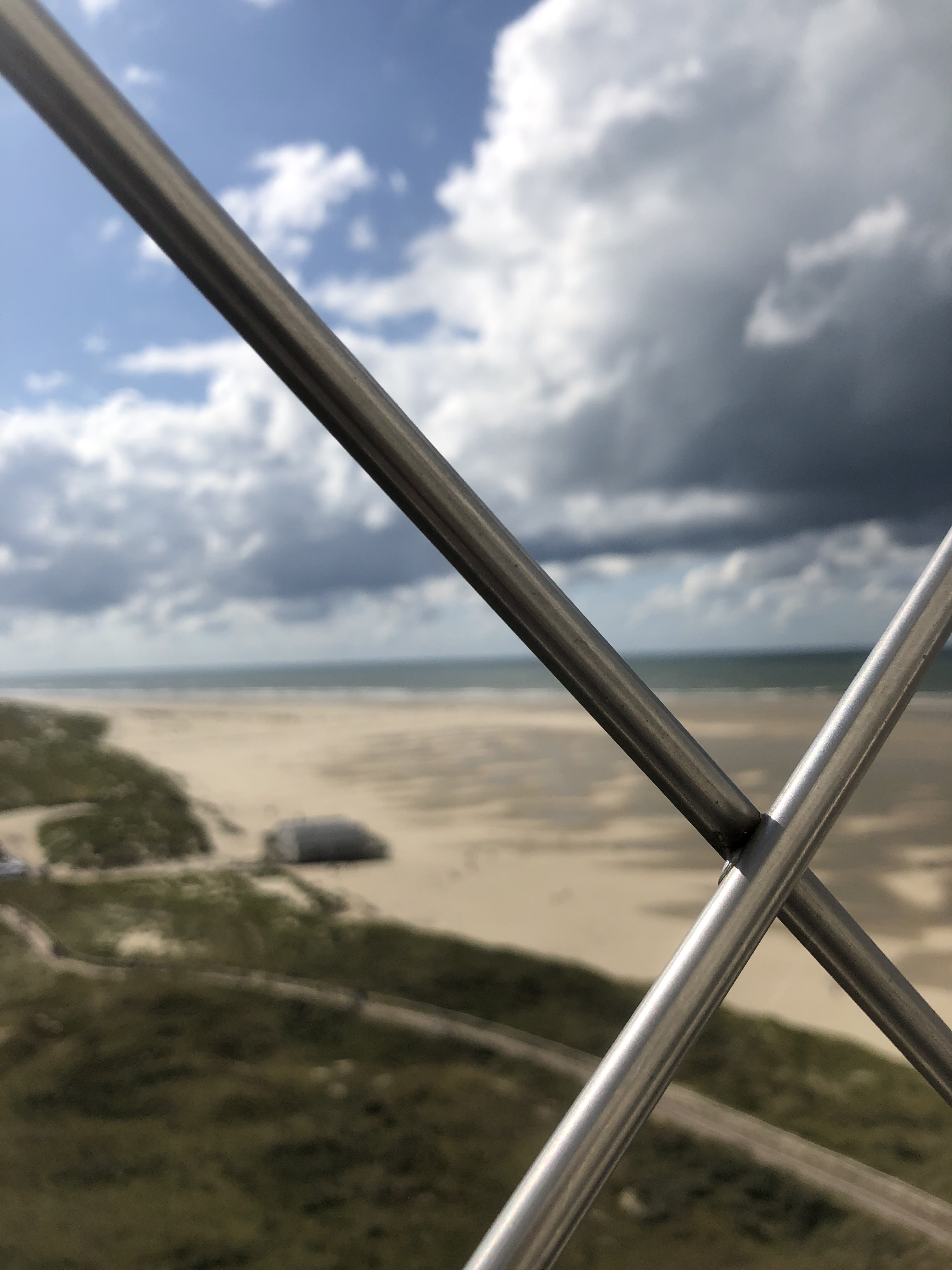
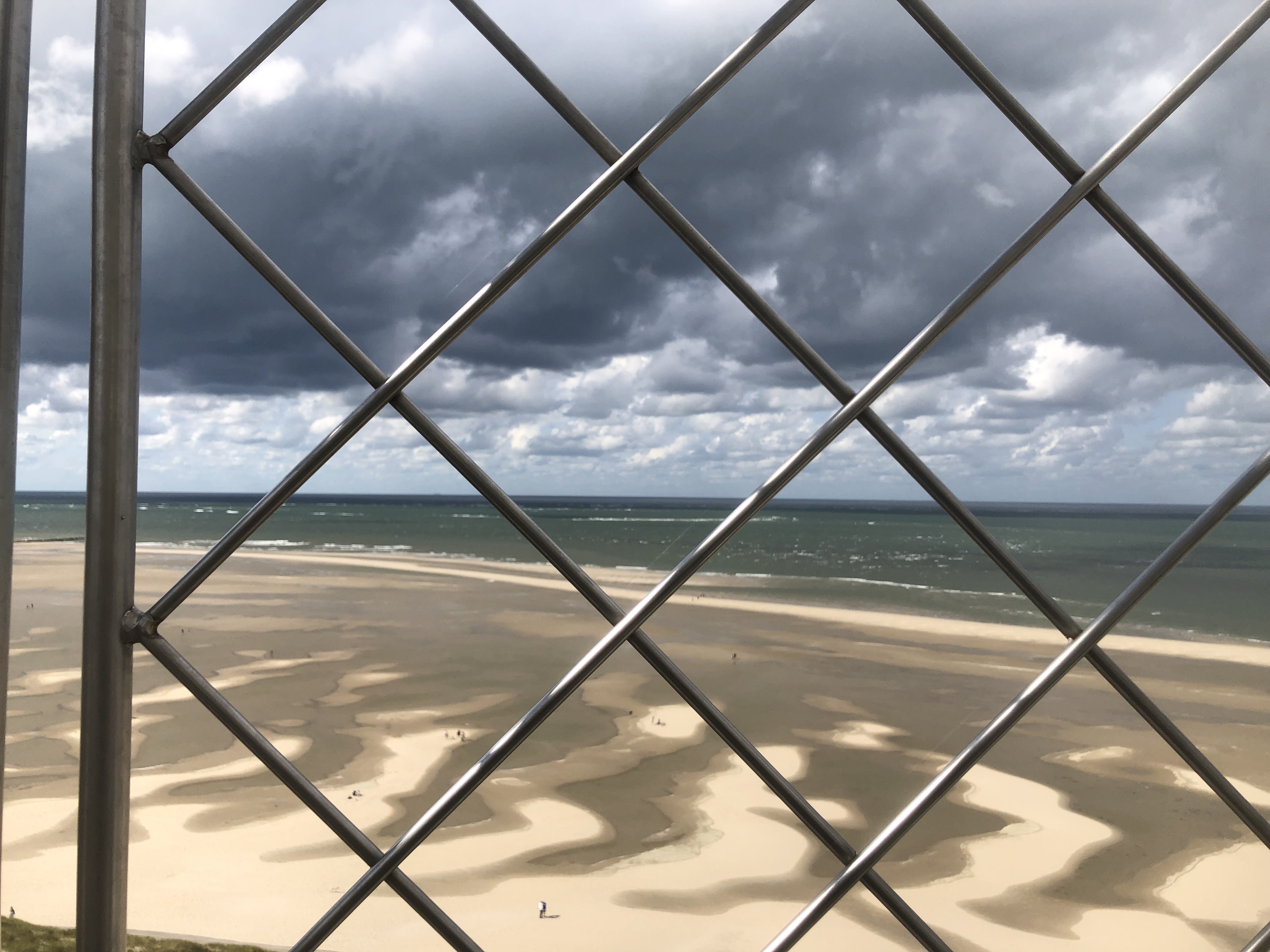
 view of de Cocksdorp |
 view of Oudeschild and Den Burg |
 view of England |
 view of the North Pole |
 view of Vlieland and Terschelling |
 view of Friesland |
 random countryside |
 Texel sheep |
 Texel horses |
