- 6·2 downhill miles: https://cyclemeter.com/3432aa395de1d505/Cycle-20220822-1031-25957
- cumulative cycling: 221·3 miles
Our hostess left fairly early in the morning to go to her work. She’d shown us the route she recommended to get to the harbour, including the names of the important streets en route. So after a leisurely start, and locking up her house, we set off. I’d programmed a multiple-part journey into Google Maps using the street names we’d been told. Don’t try this at home, kids!
- At the end of each journey-part, GM stops showing the onward route and asks if you want to continue route-following. This is no help if you are halfway down a steep street, going quite fast and just want a direction to follow, and really do not need to try to push a button on the jPhone bouncing in your handle-bars. Of fucking course you want to go on, otherwise you wouldn’t have set further ‘destinations.,
- in subsequent stretches, GM keeps on changing the direction it is showing, as if it can’t decide whether you want to go on to the next ‘destination’, back to a previous one, or somewhere else entirely.
- GM’s sense of distance changes quite rapidly as you approach turns, if it deigns to show them at all, leading to missing turns and longer journeys.
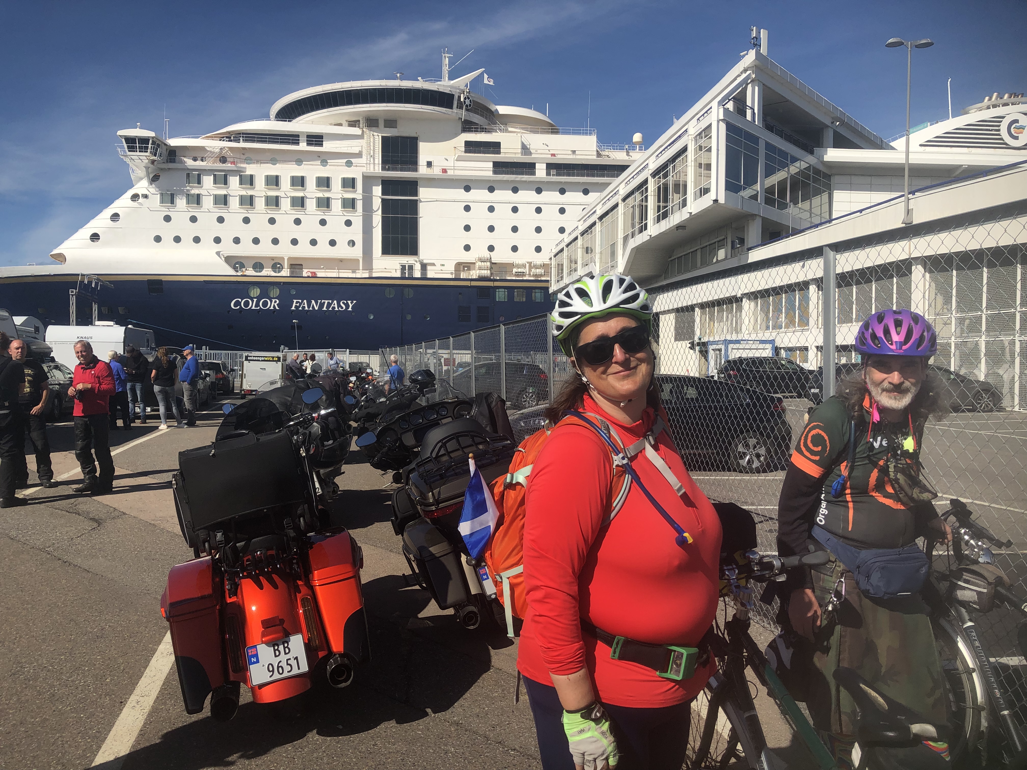
Really, what moron designed GM? Perhaps it’s the same tosser who thought hanging bikes vertically in trains is a good idea. Anyway, we eventually arrived at the ferry terminal, where we both cycled onto the boat, including going up a steep slope to the mezzanine deck. This was helped by slipstreaming from a couple of touring Harley-Davidsons in front of us. After that, there was nothing to do but sleep, eat, blog, sit and get lost on the way back from the smoking deck.